We bring combined expertise in CME engineering and GIS-based service, subsurface utility and gyroscope mapping, roads, earthworks, and site preparations, all with a strong foundation in engineering and geospatial solutions.
We can provide safe, precise and effective solution for infrastructure and construction projects because to our diverse competencies.
To provide accurate, innovative, and efficient geospatial and underground utility services that support smart city development, protect public assets, and improve construction outcomes.
WHAT WE DO
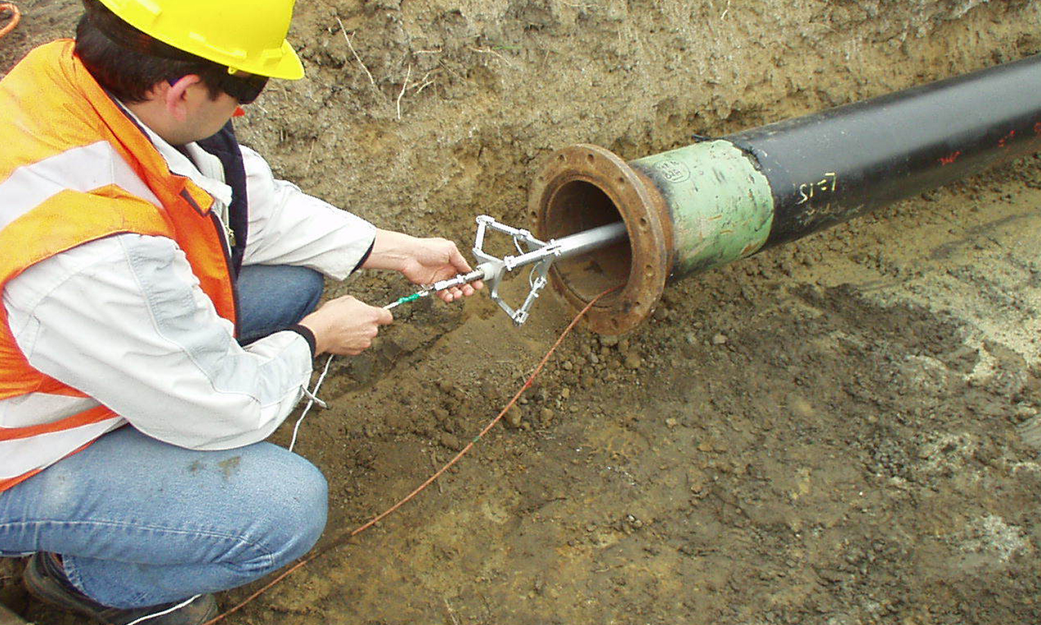
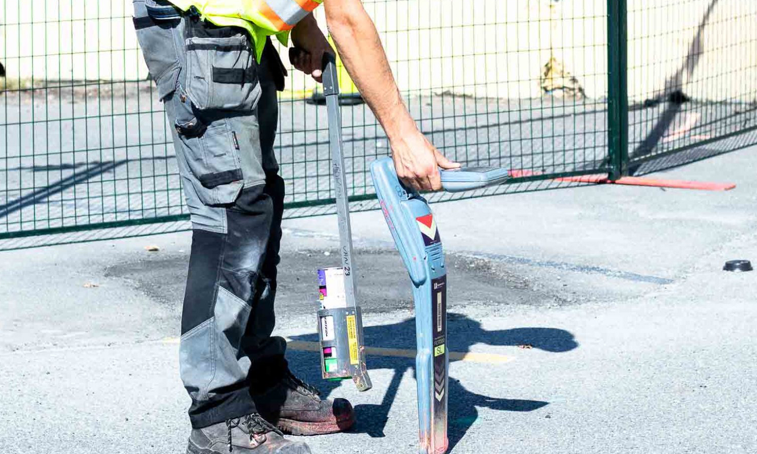
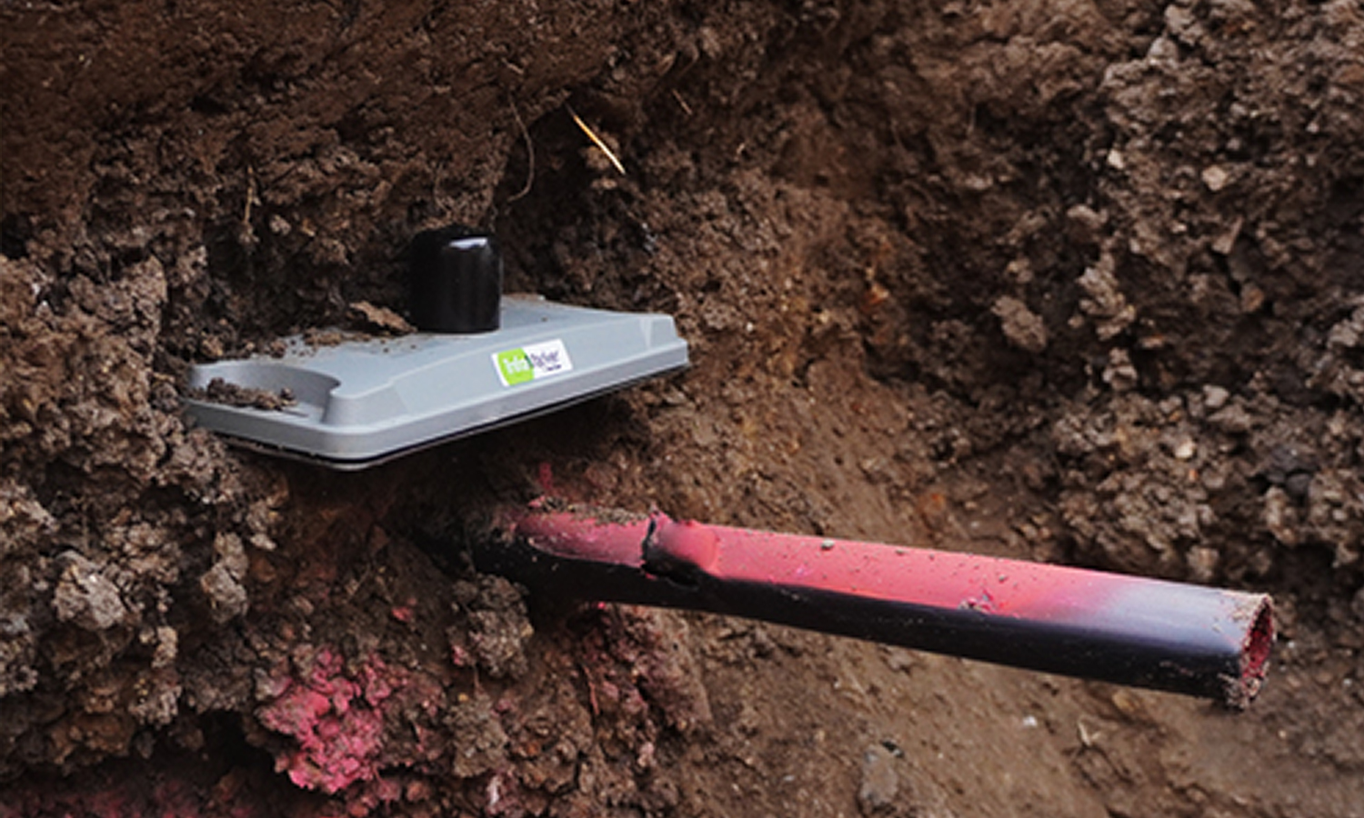
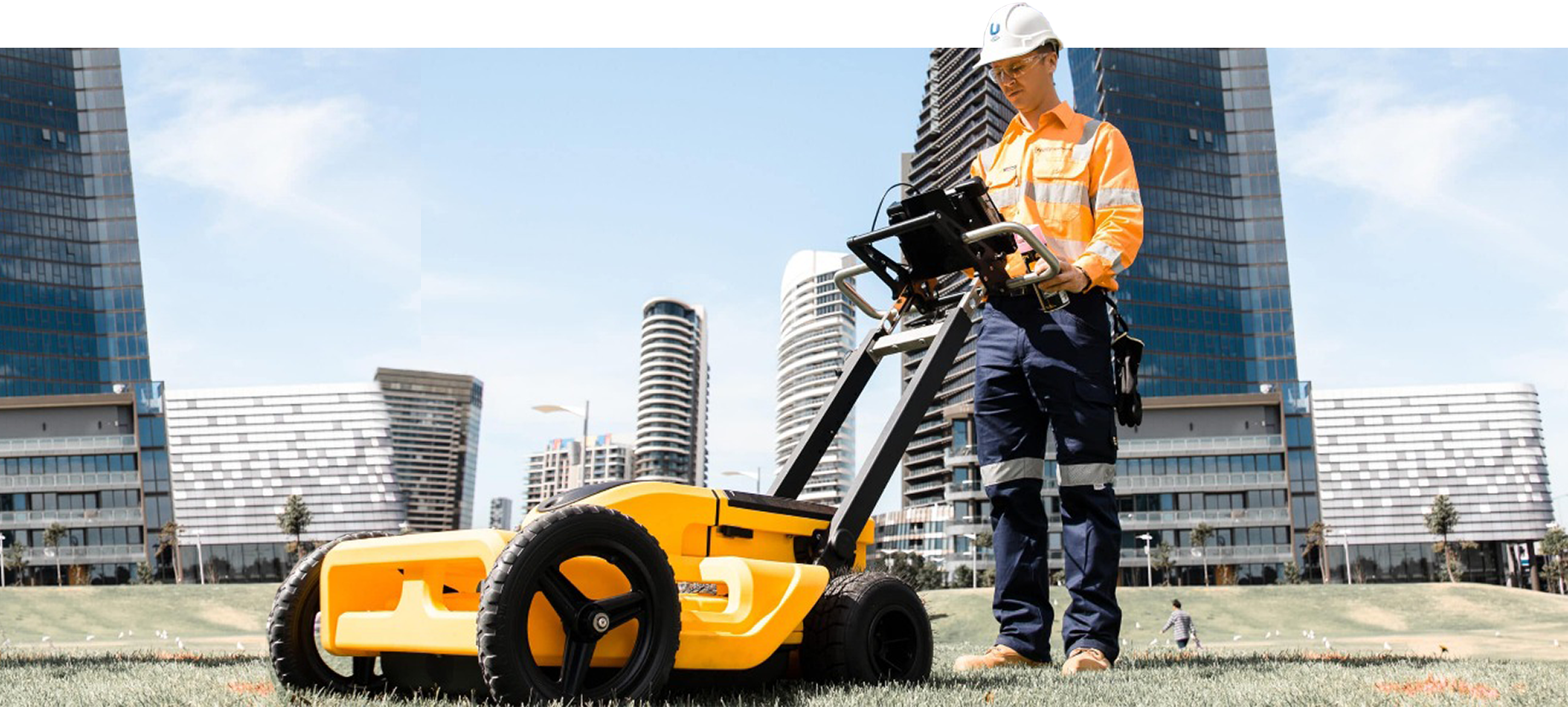
We specialize in detecting and mapping hidden underground utilities such as cables, water pipes and ducts, assisting in damage prevention and guaranteeing safer planning during construction.
Our gyroscope mapping solutions provide accurate alignment and positioning for underground drilling, tunnelling, and utility installation projects.
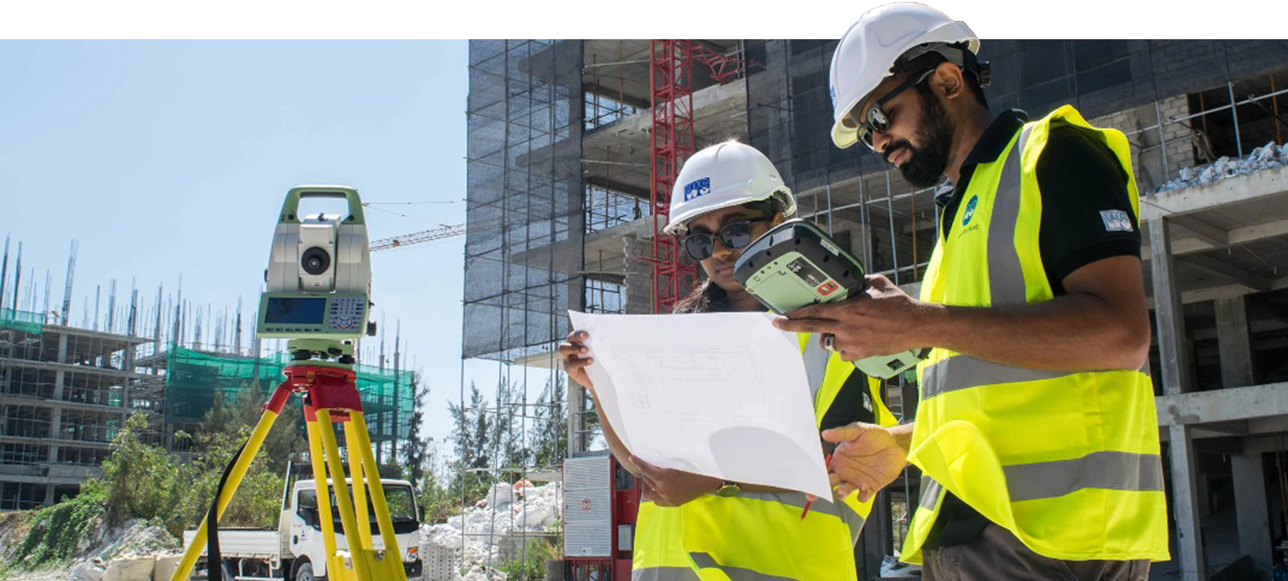
We deliver advanced mapping and geospatial analysis using GIS technology and GPS to support infrastructure planning and asset management.
From civil to mechanical and electrical projects, we provide complete CME engineering service, including telecommunication structures and power systems installations.
We use RFID technology to track, locate, and manage your underground utility assets in real time, reducing losses, improving maintenance planning, and keeping your operations running smoothly.
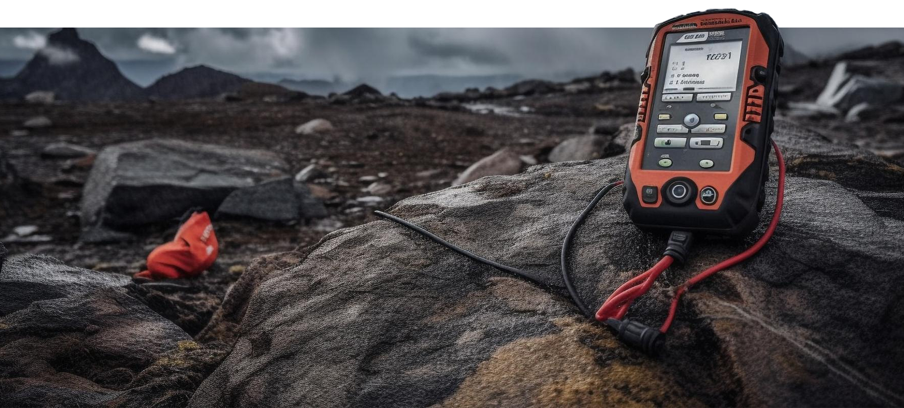
TECHNOLOGY
Our operations are supported by a suite of advanced technologies. These tools enable us to detect, map, and monitor underground infrastructure with exceptional accuracy, even in complex environments. Apart from using GPS, Total Stations, Borehole GPR, UAVs, Magnetic Locators, we are also using: