OUR SERVICES
Providing accurate, innovative, and efficient geospatial and underground utility services that support smart city development, protect public assets, and improve construction outcomes.
SERVICE DETAIL
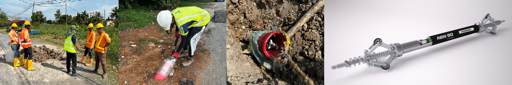
UDM is a non-destructive process that locates and maps buried cables, ducts and pipes before any excavation takes place. Buried utilities present serious risks to contractors on site and UDM eliminates that uncertainty by delivering accurate subsurface data when it matters most.
SERVICE DETAIL
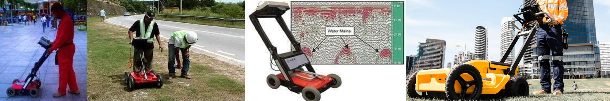
Ground Penetrating Radar (GPR) is a non-destructive scanning technology that detects and maps subsurface objects, utilities, and anomalies using high-frequency radio waves, all without a single dig. It is particularly effective in locating non-metallic materials that conventional detection methods often miss, such as polyethylene pipes (HDPE/PE), fibre optic cables, and concrete structures.
SERVICE DETAIL
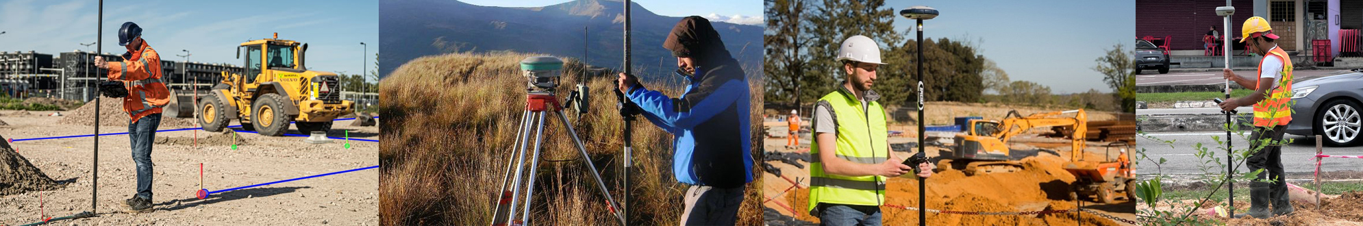
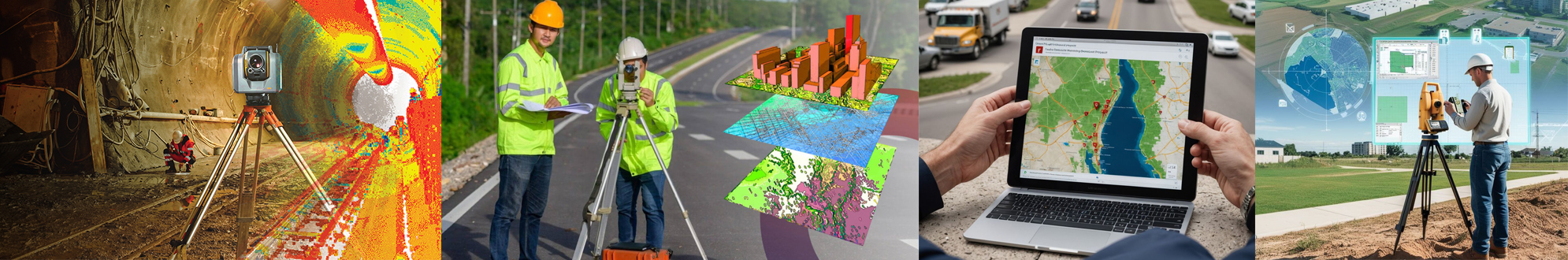
Engineering Survey provides precise spatial data and topographical information to support the planning, design and execution of infrastructure projects, from roads and bridges to railways and property developments.
SERVICE DETAIL
Gyroscope Mapping uses autonomous inertial sensors to capture precise 3D data from inside underground pipes and ducts, producing accurate as-built maps ready for any GIS platform. Unlike conventional methods it operates entirely from within the pipe, making it the ideal solution where GPS cannot reach.
SERVICE DETAIL
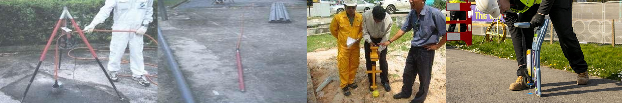
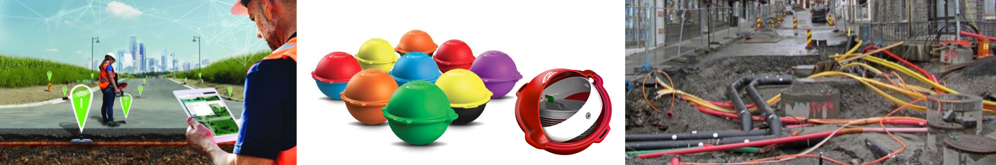
Once utilities are buried underground, surface markers fade, records become outdated and locating critical assets becomes a costly challenge. Our Smart Asset Management service modernises the way underground utility assets are identified, tracked and managed, combining advanced electronic marker technology with digital mapping to keep your infrastructure visible and accessible for the long term.
We utilise 3M Electronic Markers, maintenance-free industry-leading buried markers that transmit a unique signal detectable with precision, even without any visible surface reference. Fully compatible with GIS platforms, they ensure your underground assets remain identifiable and manageable for decades to come.
SERVICE DETAIL
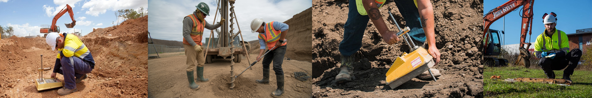
Soil Investigation is the systematic process of studying and analysing subsurface conditions at a project site, including soil composition, rock formations and groundwater levels. It provides engineers, developers and contractors with the critical data needed to design safe, stable and cost-effective foundations before any construction begins.
SERVICE DETAIL
Geospatial and GIS Services involve collecting, analysing and visualising location-based data to create accurate digital maps of infrastructure and assets. It transforms raw spatial data into clear, actionable insights, empowering project teams to make smarter and more confident decisions.
SERVICE DETAIL
CME Engineering Works encompasses integrated Civil, Mechanical and Electrical engineering services delivered under one roof. Rather than managing multiple separate contractors, our clients benefit from a single coordinated team that handles all three disciplines seamlessly from initial design through to full project completion.
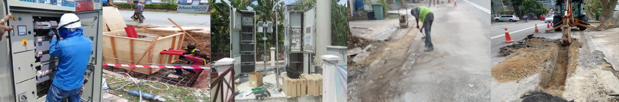
SERVICE DETAIL
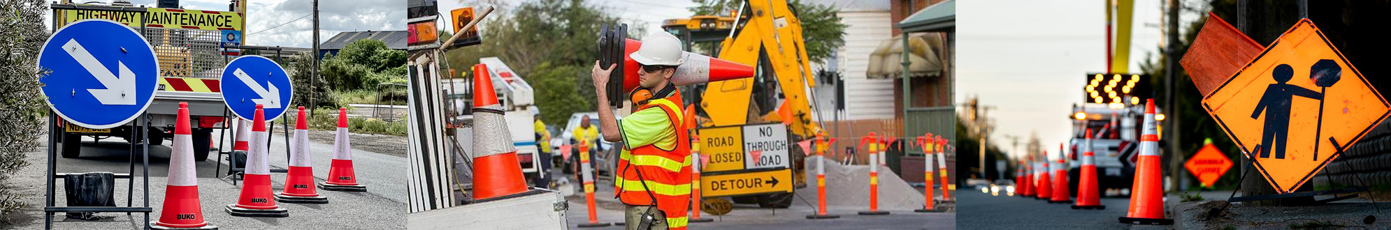
Traffic Management is the planned control and coordination of vehicle and pedestrian movement around active construction and worksite areas. Using strategically placed temporary signage, barriers, cones and traffic control apparatus, it ensures the safety of both the public and on-site personnel throughout the duration of any works.